Saturday, March 25, 2017

Bluff/Blanding, UT

We left Goosenecks SP and headed south towards the Valley of the Gods BLM area off US 163. Unhooked the Jeep and went searching for a nice place to spend a few days. The roads are all the red sand. The weather forecast was for an all day rain. These sand roads turn to slick mud when wet so we just rode around and took some pictures.


Headed south to the Bluff area then north to Blanding. In Blanding we went to the Recapture Reservoir BLM area and stayed the night. It rained on, and off, all day. Our campsite is right on the lakeside with a great view Abajo Mountains across the lake.
From our disbursed campsite on the lake.

In the morning we went in to Blanding for gas and ; groceries. The Blanding RV Park which is across the street from Clarks Market, has a very clean laundromat plus you can dump your tanks and fill up with water for only $5.00 for both. Pops Burrito is the place for breakfast or lunch in Blanding. We has both. Excellent.

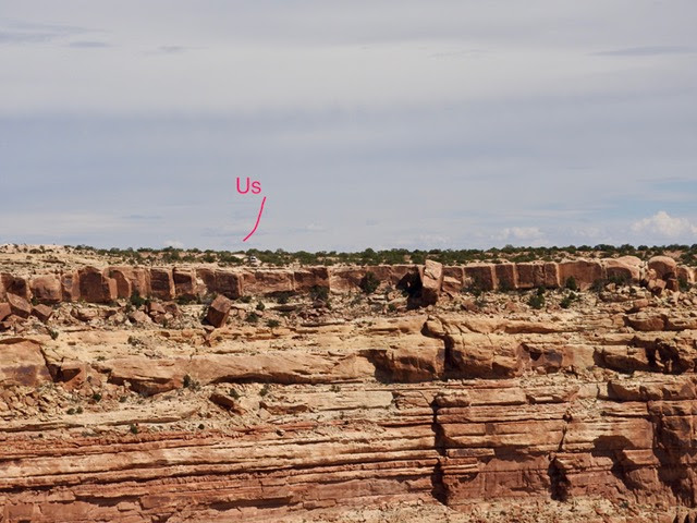
One day we spent the night on Comb Wash Road and drove some of the 4x4 trails.

Comb Wash Road near Blanding


The weather forecast for the next few days is rather dismal so we decided to move on. Tonight we're in Monticello camping on Lloyd's Lake. Filled up with propane at the Truevalue Hardware store.
Lloyd's Lake near Monticello


The weather forecast for the next week isn't much. Some sun but mostly cold and rainy. It's warmest in Moab, so we'll probably head there. Our unseasonably warm weather seems to be behind us.


Friday, March 24, 2017

Natural Bridge, Muley Point, Goosenecks State Park

On Monday we headed south on 95 to the Natural Bridges National Monument. Drove through the Glen Canyon National Recreation Area. The water in Lake Powell is at, or near, historic lows. Some years ago we camped for a night at the Hite Marina area. Then it was just black mud. Today it's high and dry. The very long boat ramp is probably a hundred feet from the water.

Not much water in Lake Powell

The Sipapu Bridge


Natural Bridge NM was the first park designated as a "dark  sky" location. The location is so remote, there are no city lights visible in any direction. The stars at night were just amazing. We agreed we had never seen so many.

On Tuesday, we drove to the Muley Point. It's a part of the Glenn Canyon NRA. The view of the canyon is really something. We're camped right on the canyon edge.


A storm is predicted for tomorrow. The access road to where we are is about 3 miles of red dirt. When that stuff gets wet, it turns to a sticky mud and is undriveable. We decided to move a few miles to the Goosenecks SP just in case.

Goosenecks SP was interesting. The San Juan River has over some 300-million years, carved a canyon about 1,000' deep. The river winds for 6 miles through the canyon but just progresses 1.5 miles west to Lake Powell.


Tuesday, March 21, 2017

Goblin Valley and Capital Reef areas

After Green River we drove to the Goblin Valley area. Spent the day driving a few trails but were not all that impressed with the selection of camping areas so we headed south to Hanksville. We looked at several disbursed camping areas around Hanksville but they are orientated towards ATV's and dirt bikes; both of which we try to avoid.

We continued West on 24 towards Capital Reef NP. It was late Saturday afternoon when we arrived, and predictably, the NP campground was full plus the sites are really jammed onto each other so we decided to look at some of the disbursed areas west of the NP. We came across a great one in the Fishlake NF. 

38.32679 -111.36414

We'll be staying here for a few days.


On Sunday we drove the Scenic Drive through the NP plus two Jeep trails in the park.