Saturday, May 19, 2012

A Shoe Tree??


Saturday

About 5:30 this morning I heard Gopher throw up so I got up to clean the mess. When she's watching me at work, she has the saddest look on her face as if she knows she's done something bad and is about to get yelled at. These things just happen now and then.  So, I put on the coffee and we were outside around dawn once again. Same wildlife results as yesterday. Not a creature was stirring, not even a mouse.

We've seen, and owned, shoe trees over the years, but nothing quite like this. It's growing alongside US 26 west of Mitchell. As I hear it told, such trees only grow in Oregon. We've traveled in every state in America, and most Canadian Provinces, and have never seen one anywhere else.


An Oregon Shoe Tree.Wonder what the Latin name is??


In a recent blog post, I posted a picture of a very strange Oregon critter. Donna K. was able to identify it. Seems it's an  Oregon Marmalotgrapusped.  First one I've ever seen. Wonder if they eat the fruit of the Oregon Shoe Tree??

"I like nonsense, it wakes up the brain cells. Fantasy is a necessary ingredient in living, It's a way of looking at life through the wrong end of a telescope. Which is what I do, And that enables you to laugh at life's realities."
Dr. Seuss


We're in the Ochoco Divide USFS campground for the night. Our Lazy Daze friend, Jim, is camp hosting here for the summer. This is a very nice campground with gigantic Ponderosa Pines. They're easily identified by their cinnamon colored bark, plus they are generally the tallest tree in the forest wherever they are found. We're in a nice pull-through site with fairly good solar, given the wooded nature of the campground. $6/night.


I told Jim to come down for dinner tonight. I'd cook salmon and sweet potatoes on the grill. These bachelor types don't get very many meals they don't have to prepare.No argument from Jim.


Another perfect day.


Friday, May 18, 2012

South Fork of the John Day River


Thursday:

When I got up this morning, I had hoped to talk to Paul some more. Yesterday, while talking about Florida, he mentioned that when he was a Naval Cadet, he attended flight school in Fort Lauderdale then went off to war (meaning WW II). I bet there were some interesting stories there.

As we left the Depot Campground this morning, we drove around Prairie City. That doesn't take very long but we did come across this nice mural. 


There is a USFS office in town. The women was very helpful in providing camping information about the Malheur NF. We continued west to John Day. There is very comprehensive Public Lands Information Center in town. Once again, the women on duty was very knowledgeable and helpful. She said disbursed camping is allowed throughout the forest and made some suggestions.
While in John Day, I visited the Kam Wah Chung & Company State Heritage Site. During the gold mining days, Chinese labor was extensively used. The Chinese were customarily paid half of the American wage for the same job performed. That reminded me of a job I had when I was about 16. I worked as a common laborer for a construction company that was building a sugar mill in Belle Glade, FL. Actually, a sugar mill in Puerto Rico had been disassembled, shipped to Belle Glade, and was being put back together. At any rate, I was paid $1.00/hour because I was a white boy. Those that were not, earned $0.75/hour. The boss would sent me into town with his pickup to get stuff from the lumber yard. My friend, Eddie, a black kid about my age, would go along but was not allowed to sit in the cab because he would make it smell; he had to ride in the truck bed. When we got to the lumber yard, Eddie could not come inside. I would go in, place the order then buy us both an RC Cola then take his out to him. The first time we went to town was to pick up a load of nails. I was helping load the nails into the truck. A lumber yard employee told me to stop that. Truck loading was a n@%^)^# job, not a white boys. That's why Eddie came to town with me; someone had to do the work. That was my first, but surely not my last, personal introduction to the depth of racial hatred in America. I'm over 50 years older now and it seems ,that in some quarters, things haven't changed all that much. The laws have changed, for sure, but not the attitude.

I'll bring this poster current. Whenever the word Chinese appears, delete and add Mexican. Whenever the word Democratic appears, delete and add Republican.
 Back to the topic. Kam Wha Chung, the name of the building, translates as Golden Flower of Prosperity. It's “golden flower” era began when young immigrants Ing “Doc” Hay and Lung On bought the building in 1888. Then it became a successful place of business (a general store) , a herbal medicine office, a haven from persecution, a temple and their home.


As we left John Day, we came across one of the free Oregon DOT weigh stations. Since there was no one else using it, I took the time to get the weight of each of the corners of the camper. Now I have some current information to use in reviewing tire pressure and shifting some weight from here to there. Hmmm. We've put on a little weight since the last time we got weighed. Too many apple fritters??

Today was exploring day. We took County Road 42/South Fork Road, which runs south off US 26 in Dayville, OR. It's a decent graded dirt road that runs through the Phillip W. Schneider Wilderness Area. I chose it because the road mostly follows the path of the South Fork of the John Day River. We came across today’s campsite right on the bank of the river.
44.41099 -119.54143

There is an irrigated crop of alfalfa growing nearby, as well as a dry grain crop. About 7:00pm a guy on an ATV stopped by. His family has a ranch nearby. He tends the crop for the State Fish & Game Dept. He explained that a dry grain crop is a term for any type grain grown without irrigation. The crops are planted to attract migrating birds and for the resident wild sheep and elk. He said to watch the hills nearby for the sheep. The elk are much more elusive. He went on to explain, that this early in the year, there was still water in the mountains in the form of streams and ponds. When these water supplies give out, the animals will come down to the river to drink. Until then, sightings down here will be scarce.

Our campsite

South Folk of the John Day River
 Our morning walk.
 The planted fields.
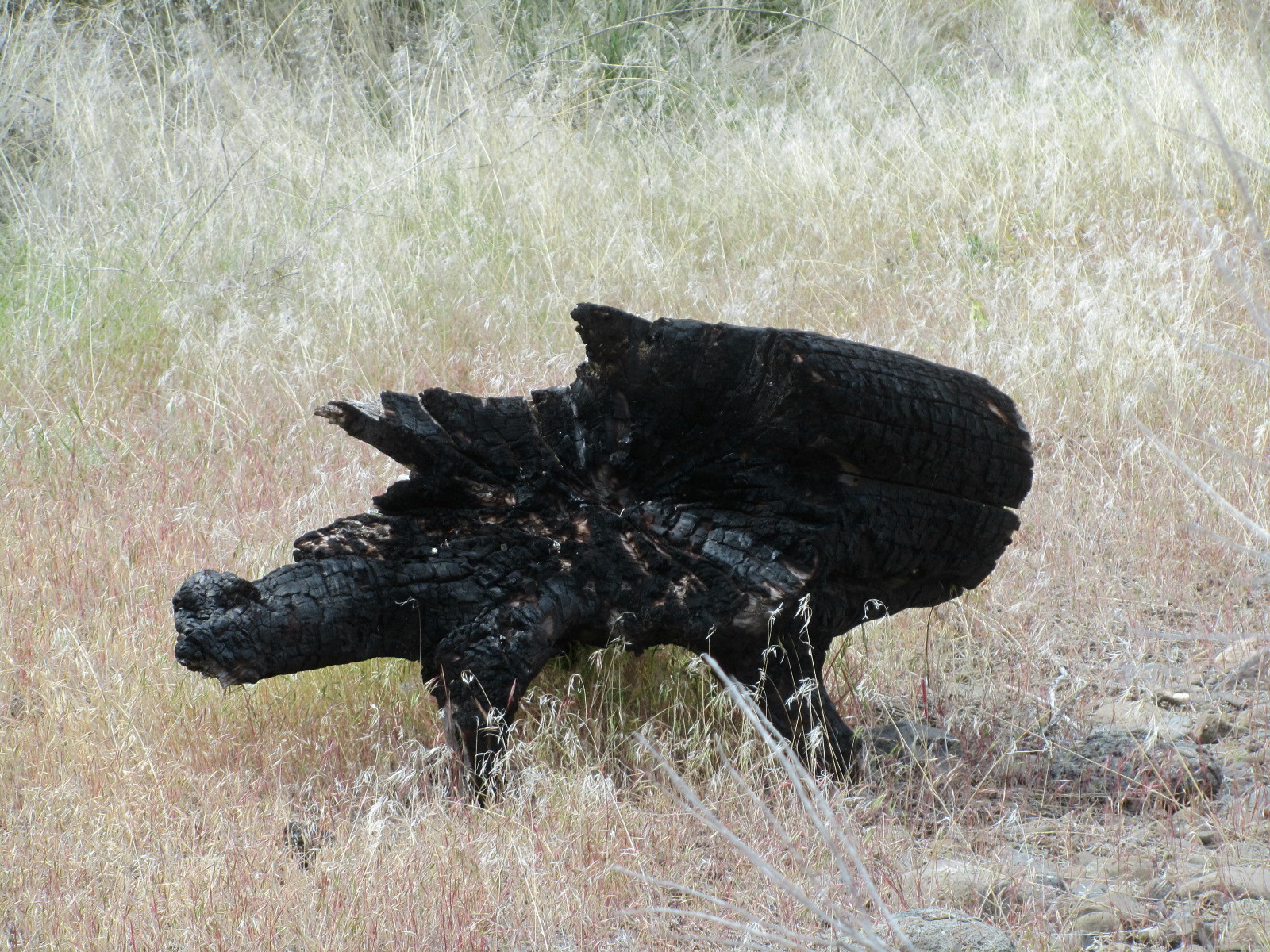
Just caught a brief glimpse of this creature before it vanished into the woods.


I asked about other nearby camping options and he said that, by far, this was the best. The other disbursed areas along the river have very high banks which limits access. Gopher likes the easy river access here. She's been wet twice so far.

The camping areas on the Snake River near Huntington and the one two days ago on the marsh, were amazing. I think this one's even better but Carol enjoyed the marsh site more. Our view from the dinette window is the river then hills. When the windows are opened, we can hear the flow of the river.
A few minutes ago, we looked out the window watched a beaver swimming upstream.


Friday, May 18:

On May 18, 1980 Mount St. Helen erupted. 57 people were killed and millions of tons of ash blanketed the Pacific Northwest.

I was up at sunrise, about 5:30am, looking for critters. Should have stayed in bed.
The weather is just perfect. It was 41* when I got up but warmed up to 66* by noon time.
The crop tending guy stopped by about 8am. He saw two antelope on the way here.

Identified a new bird today. A Spotted Sandpiper.

For the last two days, it's been just the three of us. On the odd occasion, a pickup truck would drive past on the road, but that was about it.
 In the morning, we're off to visit with our friend Jim.

Wednesday, May 16, 2012

Drifting slowly west


Some Oregon history from a few different sources:

In the 1700's, British fur traders in northern regions between the Pacific Coast and the Rockies came into conflict with Russian fur traders arriving from the north and Spanish fur traders from the south. Remnants of Spain's presence along the Canadian coast can still be seen in the names of many of the communities and inlets in Washington, such as Juan de Fuca Strait, Anacortes, and Lopez Island. Americans began appearing in the mix in the early 1800's, following the Louisiana Purchase of 1803, and the Lewis and Clark Expedition.
By the time the Americans arrived, England and Spain had already negotiated a boundary agreement but not with Russia. In order to try and shut Russia out, the Americans and British agreed to joint-sovereignty over the area which was then called the Oregon Country. It encompassed what today is Oregon, Washington, British Columbia, Idaho and parts of Alberta, Wyoming and Montana.
The southern border of Oregon Country, and eventually the state of Oregon, was the result of the earlier British and Spanish negotiations; the 42nd parallel. Why the 42nd parallel? Rivers were the roads of commerce. North of 42*, virtually all of the waterways flow north into the Columbia River which then flows west into the Pacific Ocean near Portland; traditionally British areas. Below 42*, virtually all waterways flow south to the San Francisco Bay area; very heavily Spanish areas. The flow of the waterways facilitated commerce.
The northern border, of what was called the new Oregon Territory, is simply the extension of the 49th parallel already established as the US/Canada border in the east. This was the northern border of the Oregon Territory and not the final northern border of the eventual state of Oregon.
In 1853, the Congress divided the Oregon Territory to create the Washington Territory. The northern border of the Oregon Territory, and the southern of the Washington Territory, became the Columbia River to the point where the river first crosses the 46th parallel. The boundary then followed the 46th parallel east to the Continental Divide.
When Oregon became a state in 1859, it's eastern border was modified in order to conform with the intent of Congress to create, as best possible, states of similar size. The new border became the Snake River, south to where it joined the Owyhee River then due south to where it intersects the 42nd parallel.

Wednesday
Our camping neighbors showed up. They are a couple somewhat older then us from Ontario, OR. They have a cabin nearby and are having a new driveway put in so they are camping here until the work is done and they can drive the 5th wheel to the cabin. The woman is a rock collector. She gave us a piece of opalized wood and two pieces of limb cast she collected from this area.

We're camped right on a beautiful marsh with several cattail surrounded ponds. We've been identifying as many birds as we can. Nothing unusual so far.
Red Wing and Tri-Color Blackbirds, several pairs of Mallards, a Red Tail Hawk, one Eagle, Blue Herons flying on their way to the reservoir, and a swallow of some sort. Identifying swallows or swifts is difficult because they fly very fast and rarely land for very long. The blackbirds have established a No-Fly Zone over the marsh where they nest. Whenever the hawk flew over, one or two blackbirds would take off to intercept, and chase away, the hawk.
Earlier I was sitting outside wearing a red shirt. A hummingbird hovered a foot or so, in front of me for a few seconds. Perhaps I looked like a big, red flower?? I think it was a black-chinned hummingbird.

After lunch we decided it was time to continue west. We were on the lookout for more boondocking sites. There were a number of National Forest roads where we could have stayed but nothing looked that great. Tonight we're in the Depot Park campground in Prairie City ($16/night for a full hookup, cable TV included, site). We needed a place to dump the tanks and take on water before visiting with Jim and this works very well. The park has a very nice museum that was the train depot until the last train in 1939. 


There was a very interesting looking fellow camped across from us so I went over to chat. His name is Paul and his dog is Terry. Terry, a miniature pincer, came from the pound in Yuma, AZ. Paul's life revolves around Terry, and vice versa. Paul, widowed for a number of years, and a group of his buddies, winter in Yuma at the Imperial Dam LTVA. We had a great talk about AZ. Paul will be 89 “in three months and a few days”. He's in super health and hopes to continue traveling for years to come. 
We can only hope!!


Tomorrow, we're going to explore some promising looking BLM disbursed camping areas along the South Fork of the John Day River.

Tuesday, May 15, 2012

Getting flooded out? and a super disbursed area!!


Monday, May 14

We continued east into Oregon heading for the BLM Spring Recreation Site near Huntington. The campground is on the bank of the Snake River/Brownlee Reservoir. As we turned onto the Snake River Road which leads to the campground, we saw this sign:


The sign maker missed two salient points. (1) There is no guardrail and (2) parts of the road are simply calving off effectively making the road 1 ½ lanes in a few spots. Besides that, the road was not bad; we've driven worse. As we approached the Spring Recreation area, I noticed a truck camper and travel trailer camped right on the river bank. We went to the Spring campground to take a look. It was just OK, so we decided to see how one gets to the river bank. The path from the main road didn't look all that bad, so Gopher and I did what we usually do if in doubt and we walked the path from where we were down to the river. I look for tire tracks of other vehicles to see what sort of impression they make in the dirt. This was good and solid. The picture shows our campsite. 


Gopher gets a long overdue bath


It's right here: 44.36483 -117.22578 The river is 32' below full so we're not really parked in the water as it looks on Google Earth.


Ross's Goose

During the day, a “local” stopped by to fish and chat and said he heard that Idaho Power, they control the dam and water level, was going to release water to raise the river. He heard 18”. We were OK with 18” where we were camped. Later in the day, another “local” stopped by and said he heard it was 4'. We moved to a slightly higher area a little further away from the river. About 7:00 another “local”, and his buddy, drove up. (this is a very popular spot with the fisherman) Between the two of them, they had a decent number of front teeth. I take this as a sign of good local knowledge. First thing he said “I can't believe you drove that nice rig down here”. We get that sort of reaction quite often. We do drive to places a lot of others wouldn't. Then he asked if I knew they were going to raise the river by 8'. :-) OK, you've made your point “locals”.

I checked the Idaho Power website and it said there were no planned water releases for the next two days, but there was an asterisk saying “subject to change”. By this time, I just knew there would be no decent nights sleep wondering who was right. We moved up to the Spring Campground, paid our $2.50 fee and slept well.

In the morning we'll see who was right. Before we pulled out, I placed two sticks at rivers edge; they will be my reference points.

Tuesday:
All of the Chicken Little’s were wrong. I could detect no increase in the water level.

We're meeting up with our camping friend, Jim, this weekend so we decided to move on anyway.
We headed to Baker City. I stopped in the Wallowa-Whitman National Forest office to get current information on our camping options. My questions were clearly a disturbance to the women on duty, I was actually asking her to do her job, so I just picked up some literature and left.
She said, which turned out to be wrong, that the only opened campground in this ranger district was Union Creek. We went there and looked around. It was very unusual as USFS campgrounds go in that it had several full-hookup sites ($20) and, lots of sites with water and electric ($18). The campground is on the Phillips Reservoir but none of the campsites are. Union Creek would be just fine if hookups are very important; they mean nothing to us. We agree that we're just spoiled. A beautiful, private campsite is much more important to us so we decided to just move on and see what unfolded. We hadn't gone 3 miles when we came across Hudspeth Lane and decided to see where it went. We saw a 5th wheel parked near a marsh so we pulled in to take a look. It took us right here:
44.68769 -118.09142
It's a small, free disbursed camping area right on a beautiful marsh. Our view is the marsh, then a hill of pine trees then snow covered mountains. We'll note this as one of our favorites.
This will be home for the next few days. No one is home in the Fiver so, for now, it's just the three of us.


Our view


Sunday, May 13, 2012

Fossils and pioneers


Sunday, May 13

We awoke to another beautiful, sunny day.


Our camping neighbors had a good day fishing
 

 The bluff across the Snake River from where we're camped is part of the Hagerman Fossil Beds National Monument. The bluff at water level is about 3.7 million years old and 3.15 million years old at the top. Per a brochure “No other fossil beds preserve such varied land and aquatic species from the time period called the Pliocene Epoch (from 2.6 to 5.3 million years ago*). More then 180 animal species of both vertebrates and invertebrates and 35 plant species have been found... Eight species are found nowhere else, and 43 were found here first.”


*As a point of reference, the extinction of the dinosaurs occurred about 65 million years ago. The great Bonneville Flood was “only” about 15,000 years ago.

We toured the very interesting Visitor Center located in Hagerman. On Sunday morning, it was just us and the National Parks staff.

Then we continued west along US 30 to the Three Island Crossing State Park in Glenns Ferry. There is an Oregon Trail History and Education Center that we visited before going to our campsite. ($23/night with water and electric at the site) The History and Education Center has a very informative movie and a good collection of relics from the Oregon Trail.


 This is a page from a pioneers journal.

Shoshone Indians


We were sitting outside earlier discussing where to head next. We're both about Oregon Trailed and fossiled out for now, plus the temperature is supposed to get into the high 80's,  so we decided to head for the mountains of Oregon. The Wallowa-Whitman National Forest is in eastern Oregon; that's our next destination.